 EN
ENWe use modern drone technology to conduct industrial, agricultural and infrastructure surveys. Our services are designed to provide accurate, easy-to-process data, while flights are always carried out within the legal framework and with permission.
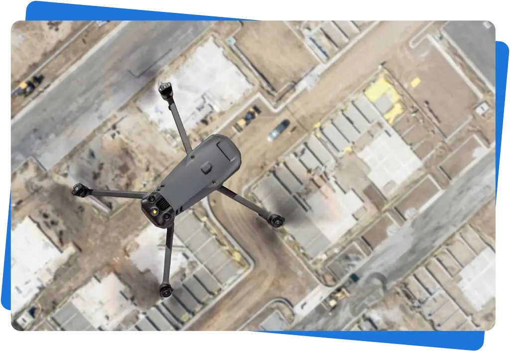
In industrial environments, there is often a need for accurate, objective data when dealing with earthworks, stockpiles, or large-scale areas. Through our industrial drone surveys, we support quantity verification, documentation, and site delineation using aerial data collection.

In agriculture, drone surveying is an effective tool for assessing field conditions. Using measurements carried out with multispectral cameras, we provide a comprehensive overview of crop health, supporting decision-making and monitoring processes.
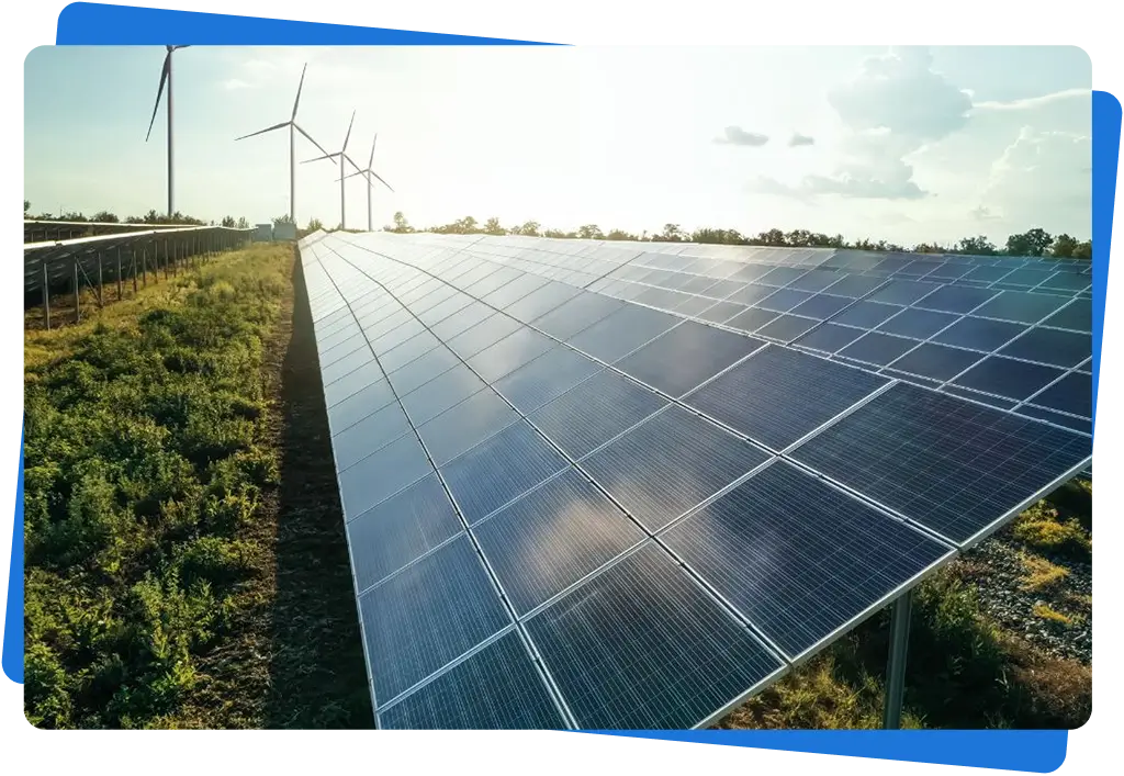
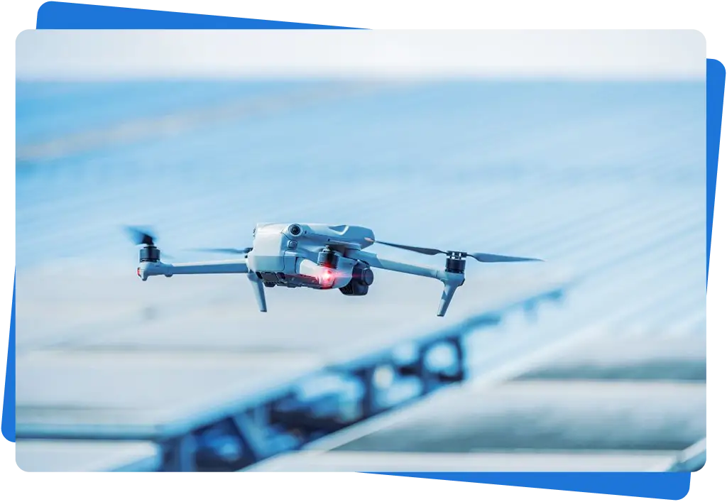
For energy and infrastructure facilities, reliable condition assessment is of critical importance. Our drone surveys enable the safe inspection of large-scale systems using thermal imaging and high-resolution optical measurements.
Aerial data collection reveals anomalies that are difficult to detect from the ground, while supporting operational and maintenance decisions with minimal intervention.
For high or hard-to-access industrial facilities, drone surveying offers a safe and efficient solution. Aerial imagery is suitable for condition assessment, detailed documentation, and, if required, the creation of 3D models.
For larger industrial projects and construction sites, regular weekly or monthly aerial surveys can be carried out, providing clear support for tracking workflows and documenting project progress.
If you need drone surveying, documentation, or a professional consultation, feel free to contact us. After a brief discussion, we will prepare a tailored quotation for you.
Our company specializes in industrial drone surveying using modern drone technology. Our goal is to provide accurate, fast, and safe data collection in areas where traditional surveying is slow, costly, or difficult to carry out.
A legjobb felhasználói élmény biztosítása érdekében sütiket használunk az eszközinformációk tárolására és/vagy elérésére. Ezen technológiákhoz való hozzájárulás lehetővé teszi számunkra, hogy olyan adatokat dolgozzunk fel, mint a böngészési viselkedés vagy az egyedi azonosítók ezen a webhelyen. A hozzájárulás megtagadása vagy visszavonása bizonyos funkciókat hátrányosan befolyásolhat.
