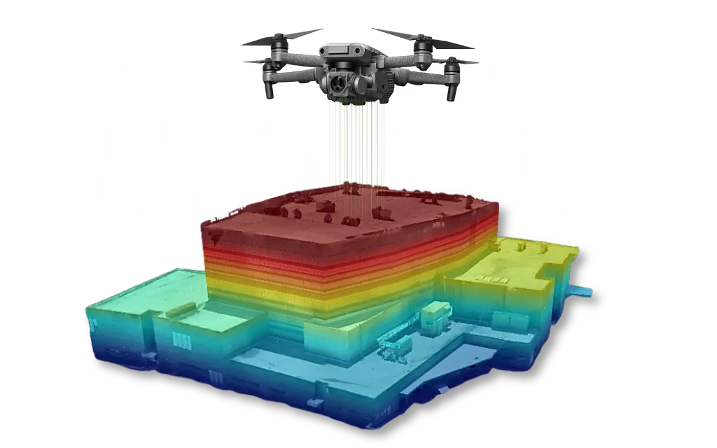
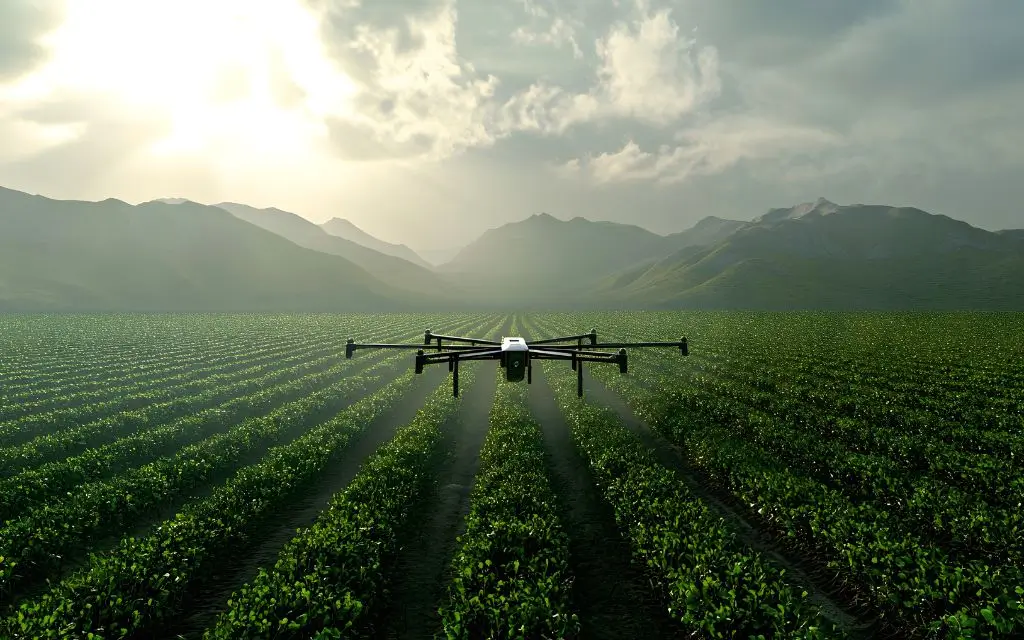
Mezőgazdasági drónok: hol segítenek a legtöbbet a gazdálkodásban?
A mezőgazdaságban a legnagyobb kihívás ritkán az, hogy “mit kellene csinálni”. A gond inkább az, hogy mikor, hol, és mekkora területen érdemes beavatkozni. Egy több
We use modern drone technology to conduct industrial, agricultural and infrastructure surveys where accuracy, safety and efficiency are key.
Linka Drone specializes in industrial, agricultural and infrastructural drone surveys. Our goal is to use modern drone technology to quickly, safely and accurately provide data that provides real assistance in planning and decision-making. In our work, we use drones and sensors tailored to the nature of the task, whether it is surveying industrial areas, conducting agricultural analyses or examining difficult-to-access facilities. Our solutions offer an effective alternative to traditional, time-consuming and costly survey methods.
Volumetric calculation of bulk materials, area mapping and industrial facility surveying with RTK accuracy.
Stem counting, plant condition assessment, wildlife damage and wildlife population survey, multispectral analyses.
Thermal imaging of solar parks, inspection of electrical power lines, conduits and tall structures.
Continuous monitoring of construction sites and projects with weekly or monthly aerial photographs.
We carry out all our work in compliance with applicable laws. We have the necessary permits and documentation, so drone flights take place within a legally regulated, official framework.
During the surveys, we emphasize accuracy and data reliability, using modern drone technology and appropriate measurement methods.
The completed surveys are delivered in digital form, so they can be viewed online and are suitable for further processing.
We have several types of professional drones and cameras available, which are always adapted to the needs of the given task.
We also work effectively in locations where personal presence would be risky, inconvenient, or involve significant additional costs.
Every project is preceded by a preliminary consultation, with clear terms and conditions and continuous communication.
If you need drone surveying, documentation, or a professional consultation, feel free to contact us. After a brief discussion, we will prepare a tailored quotation for you.

A mezőgazdaságban a legnagyobb kihívás ritkán az, hogy “mit kellene csinálni”. A gond inkább az, hogy mikor, hol, és mekkora területen érdemes beavatkozni. Egy több

Az ipari létesítmények felmérése mindig is összetett, időigényes és költséges feladat volt. Gyártelepek, üzemek, raktárak, ipari parkok vagy akár energetikai létesítmények esetén a pontos adatok

One of the biggest challenges of modern projects is the lack of reliable, accurate, and timely data. Whether it is an industrial investment, agricultural planning, or infrastructure development, decision-making…
Our company specializes in industrial drone surveying using modern drone technology. Our goal is to provide accurate, fast, and safe data collection in areas where traditional surveying is slow, costly, or difficult to carry out.
A legjobb felhasználói élmény biztosítása érdekében sütiket használunk az eszközinformációk tárolására és/vagy elérésére. Ezen technológiákhoz való hozzájárulás lehetővé teszi számunkra, hogy olyan adatokat dolgozzunk fel, mint a böngészési viselkedés vagy az egyedi azonosítók ezen a webhelyen. A hozzájárulás megtagadása vagy visszavonása bizonyos funkciókat hátrányosan befolyásolhat.